This is the brand new personal website of ....Casper ter Kuile.... in preparation |
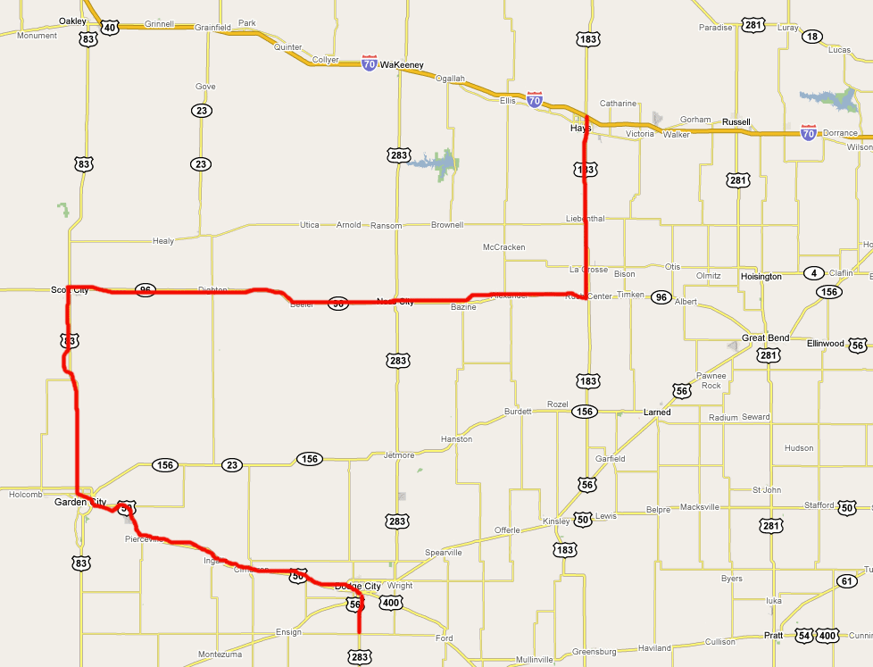
- Hays (Kansas) > Dodge City > circling around > Dodge City (Kansas) > very nice mammatus!
Map: from Hays (Kansas) > Dodge City > circling around > Dodge City (Kansas)- Some images of this nice chaseday...
- SPC Convective Outlook for 26 may 2008
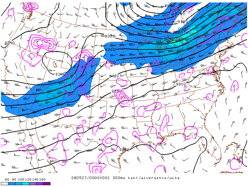
- Location of the jet on 27 may 2008 at 00:00 UTC
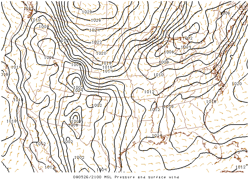
- MSL Pressure and Surface Wind on 26 may 2008 at 21:00 UTC
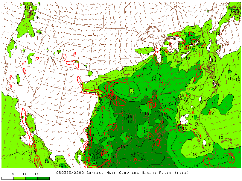
- Surface Moisture and Mixing Ratio on 26 may 2008 at 22:00 UTC
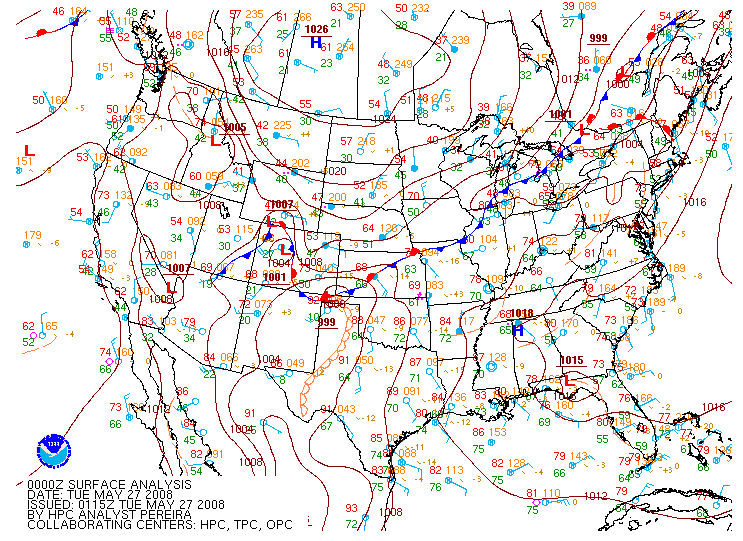
- Surface map on 27 may 2008 at 00:00 UTC
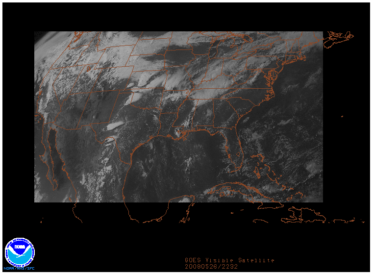
- GOES Visible image on 26 may 2008 at 22:32 UTC
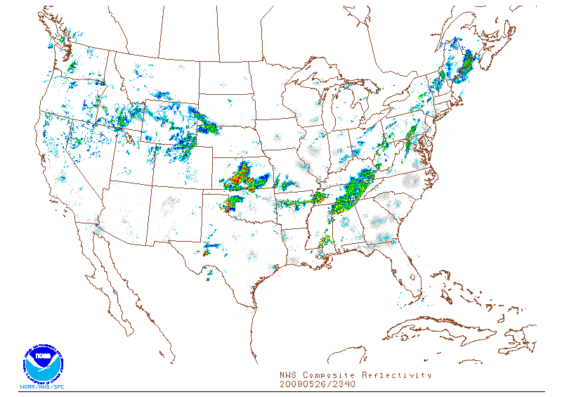
- NWS Composite Reflectivity on 26 may 2008 at 23:40 UTC
- SPC Storm Reports of 26 may 2008
- Archive of the Severe Thunderstorm Event: May 26, 2008
Hays (Kansas) > Dodge City > circling around > Dodge City (Kansas) > very nice mammatus!
Today SPC is forecasting an MDT along the Kansas / Oklahoma border region. We are now in Hays and decide to move south to Rush Center, then west to Scott City. From there we again move south to Garden City and stop to find out how things develop.Map: from Hays (Kansas) > Dodge City > circling around > Dodge City (Kansas)
Using our laptop and an open WiFi point we observe the situation. We should head more east and south so our next target is Dodge City. It seems we are to late to intercept some severe storms and we stop a few miles south of Dodge City along the highway 283.
We note a fine cloudy display of dimishing severe weather about one hour before sunset. On our way back to Dodge City we drive through a storm. In front of our Super 8 Motel we note the nice clouds and formation of some mammatus. To have a better view we drive to a better viewpoint outside the city. Here we observe the finest mammatus clouds during our stormchase tour 2008!
- The city of Hays, Kansas
- Dodge City, Kansas
- Super 8 Motel, Dodge City, Kansas
- Applebee's
- May 2007 Tornado Outbreak (WikipediA)
- List of Late-May 2008 tornado outbreak sequence tornadoes (WikipediA)
Location of the jet on 27 may 2008 at 00:00 UTC
MSL Pressure and Surface Wind on 26 may 2008 at 21:00 UTC
Surface Moisture and Mixing Ratio on 26 may 2008 at 22:00 UTC
Surface Map on 27 may 2008 at 00:00 UTC
GOES Visible image on 26 may 2008 at 22:32 UTC
NWS Composite Reflectivity on 26 may 2008 at 23:40 UTC
This site is under heavy construction... please have some patience... thank you!
| Stormchase USA 2008 - main page | Back home |
|
|